Louisiana: European Explorations and the Louisiana Purchase
Dublin Core
Title
Louisiana: European Explorations and the Louisiana Purchase
Subject
Louisiana History
Description
History of the Louisiana Purchase through mapping.
Creator
Chester Pelsang
Publisher
Library of Congress Digital Collection.
Louisiana: European Explorations and the Louisiana Purchase
Louisiana: European Explorations and the Louisiana Purchase
Collection Items
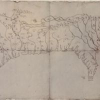
Mapa del Golfo y costa de la Nueva España (Map of the Golf and Coast of New Spain)
Shows the coast from the vicinity of the Cape Fear River in North Carolina of the United States, location of Indian settlements, and lakes and rivers in the region to the Pánuco River in Mexico with the interior is as far north as the latitude of the…
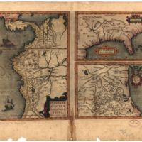
Peruuiae avriferæ regionis typus
Central America, northwestern South America, southern United States, and coast of Tamaulipas in Mexico. (Description provided by the Library of Congress)
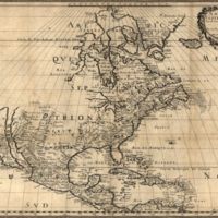
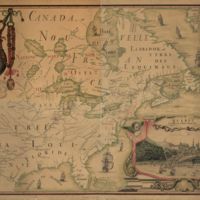
Amérique septentrionale (North America)
First full map of the North American continent. Lacks shading along border for Lake Ontario. (Description provided by the Library of Congress)
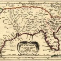
La Floride (Florida)
Shows the coastline from Secotan in Virginia to Planuco in Mexico with the interior is shown to 40 degrees of latitude north and includes lakes and rivers in the region. (Description provided by the Library of Congress)
Carte de la Découverte (Map of Discovery)
Oriented with north to the right. General map of North America. (Description aided by Library of Congress)
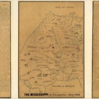
The Mississippi
Shows trees, animals, and names of the Indian nations with pen-and-ink and watercolor. (Description aided by Library of Congress)
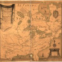
Amérique septentrion lle (North America)
Covers Canada, Hudson Bay region, and eastern United States. Shows lakes, rivers, villages, and other geographical entities. (Decription provided by the Library of Congress)
Carte de l'Amérique Septentrionnale (Map of North America)
Copied between 1909 and 1910 from the original 1688 ms. in the Archives du dépôt des cartes et plans de la marine. (Description provided by the Library of Congress)
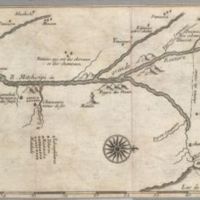
Carte de la rivière de Mississipi (Map of the Mississippi River)
Shows cities and towns and features in the region along the Mississippi River. (Description aided by the Library of Congress)
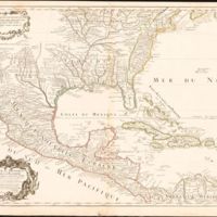
Carte du Mexique et de la Floride (Map of Mexico and Florida)
Appears in the author's Atlas de géographie published in Paris ca. 1712. (Description aided by the Library of Congress)
