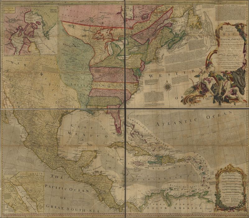
An accurate map of North America
Dublin Core
Title
An accurate map of North America
Subject
North America, Early works to 1800
North America
North America
Description
A particular map of Baffin and Hudson's Bay and the passage by land to California. (Description provided by the Library of Congress)
Creator
Emanuel Bowen, J. (John) Gibson, and Robert Sayer
Source
Library of Congress Geography and Map Division Washington, D.C. 20540-4650 USA dcu - 74693869
Date
1763
Format
Digitally Scanned Map
100 x 116 cm
Type
Still Image
Hyperlink Item Type Metadata
URL
https://tile.loc.gov/image-services/iiif/service:gmd:gmd3:g3300:g3300:ar002100/full/pct:12.5/0/default.jpg
Citation
Emanuel Bowen, J. (John) Gibson, and Robert Sayer, “An accurate map of North America,” A Digital Display of Louisiana Map History , accessed May 17, 2024, https://chesterpelsang.org/ExhibitDisplayofLouisianaMaps/items/show/29.
