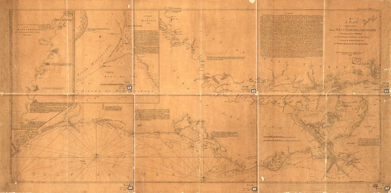
A Plan of the coast of part of west Florida & Louisiana
Dublin Core
Title
A Plan of the coast of part of west Florida & Louisiana
Subject
Gulf Coast (La.)
Gulf Coast (Miss.)
Mississippi River Region
United States, Louisiana, Gulf Coast
United States, Mississippi, Gulf Coast
United States, Mississippi River Region
Gulf Coast (Miss.)
Mississippi River Region
United States, Louisiana, Gulf Coast
United States, Mississippi, Gulf Coast
United States, Mississippi River Region
Description
A Continuation of the Mississippi from the Houmachitta Creek to the River Yazous. (Description provided by the Library of Congress)
Creator
George Gauld and J. E. (Julius Erasmus) Hilgard
Source
Library of Congress Geography and Map Division Washington, D.C. 20540-4650 dcu - 2002623325
Date
1778
Format
Digitally Scanned Map
59 x 80 cm.
Type
Still Image
Hyperlink Item Type Metadata
URL
https://tile.loc.gov/image-services/iiif/service:gmd:gmd401:g4012:g4012c:ct000670/full/pct:12.5/0/default.jpg
Citation
George Gauld and J. E. (Julius Erasmus) Hilgard, “A Plan of the coast of part of west Florida & Louisiana,” A Digital Display of Louisiana Map History , accessed May 17, 2024, https://chesterpelsang.org/ExhibitDisplayofLouisianaMaps/items/show/34.
