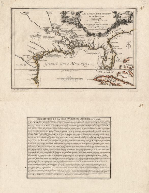
Les costes aux environs de la rivière de Misisipi (The Corners of the Mississippi)
Dublin Core
Title
Les costes aux environs de la rivière de Misisipi (The Corners of the Mississippi)
Subject
Mississippi River Valley, Early works to 1800 Southern States, Early works to 1800
Gulf Coast (U.S.), Early works to 1800 Gulf Coast (Mexico)
United States, Mississippi River Valley United States, Gulf Coast
Gulf Coast (U.S.), Early works to 1800 Gulf Coast (Mexico)
United States, Mississippi River Valley United States, Gulf Coast
Description
Shows locations of Indian villages found by La Salle during his explorations of the coastal areas of the United States. (Description provided by the Library of Congress)
Creator
Nicolas De Fer and Vincent De Ginville
Source
Library of Congress Geography and Map Division Washington, D.C. 20540-4650 USA dcu - 2003623128
Date
1701
Format
Digitally Scanned Map
20 x 32 cm
Type
Still Image
Citation
Nicolas De Fer and Vincent De Ginville, “Les costes aux environs de la rivière de Misisipi (The Corners of the Mississippi),” A Digital Display of Louisiana Map History , accessed May 21, 2024, https://chesterpelsang.org/ExhibitDisplayofLouisianaMaps/items/show/37.
